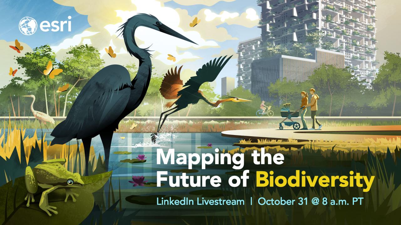
Mapping the Future of Biodiversity: GIS | livestream
Organised by Esri
31 October 2024 at 8:00 (PT)
The Esri Conservation Team is inviting to join on this Livestream to discuss the main question: How can science and technology be put to use to better understand and mitigate climate change? Understand the role of Biodiversity Net Gain (BNG) and how it could be aligned with the planning and development sector with COP 16's global biodiversity targets!
To enrich this discussion and provoke further debates, Katharine Hayhow, Climate Scientist, Distinguished Professor at Texas Tech University, and author of “Saving Us: A Climate Scientist’s Case for Hope and Healing in a Divided World”, will moderate the debate with two invited panelists: Lara Salam, GIS and Data Vistualization Expert with Oxygen Conservation; and, Tash Senior, Customer Success Consultant with Esri UK.
You may also be interested in the previous Esri Conservation Webinar series: learn how to leverage ArcGIS towards specific targets in the Global Biodiversity Framework. Recordings are available.
About Esri
Esri produces software for mapping and spatial analytics: including ArcGIS, the most widely used geographic information system in the world.
For transparency, please note that Esri is a private company: the ONet website team have decided to publish the freely accessible events linked above, given the topics' and ArcGIS' relevance to conservation practitioners and organisations. Please also see alternative open source geographic information systems that are available for download free of charge.
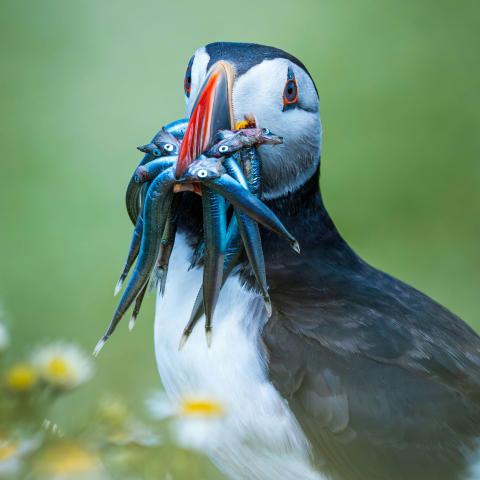
Photo by Jonny Gios on Unsplash. Beautiful Atlantic puffin (Fratercula arctica) with a bunch of fish at Skomer Island, Haverfordwest, UK.