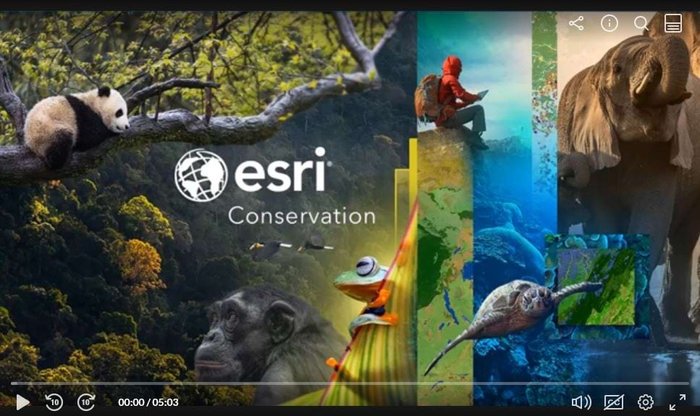
Esri Conservation Webinar Series | GIS for biodiversity

Last updated 5 March 2024.
You can now access the recordings of all webinars listed below.
Learn how ArcGIS supports the UN Global Biodiversity Framework
The Esri Conservation Team is thrilled at the opportunities presented by the Post-2020 Kunming-Montreal UN Global Biodiversity Framework (GBF). In our assessment the GBF targets present an unprecedented opportunity to consistently advance global conservation efforts. Since many of the targets are explicitly spatial, our teams have been working to clarify how best apply ArcGIS towards the monitoring of the GBF. ArcGIS is the most widely utilized GIS in the world supporting the work of thousands of conservation organizations globally. To support this community we’ve developed a four-part webinar series dedicated leveraging ArcGIS towards specific targets in the GBF.
You might also be interested in the contributions to #IPBES10 Stakeholder Day by the technical support unit on knowledge and data that touched on geospatial analysis: Advanced Data Technologies and Can data be FAIR and CAREful?. For diving deeper, see the Technical Guidelines Series on how IPBES prepares maps for its publications.
Actionable Conservation Science for the Global Biodiversity Framework

Individual webinars & recordings
- June 7, 2023, 7:00 a.m.–8:00 a.m. (PT)
Combining and Integrating Ecological Data
- September 13, 2023, 7:00 a.m.–8:00 a.m. (PT)
Sampling and Environmental Attribution
- November 15, 2023, 7:00 a.m.–8:00 a.m. (PT)
Species Distribution Modeling
- January 20, 2024, 7:00 a.m.–8:00 a.m. (PT)
Regionalization and Optimization
Registration
For details on each webinar, registration, and recordings visit the Esri website:
Header photo by Nandhu Kumar
